
Today we started from the Dundas Valley Gatehouse parking lot. It was a rainy and muddy day. We were thankful for our waters, and poles today.
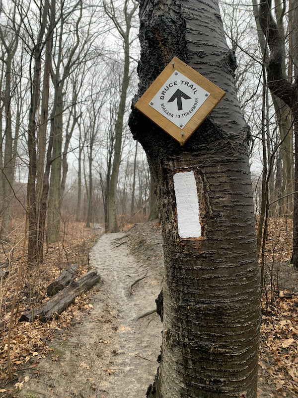
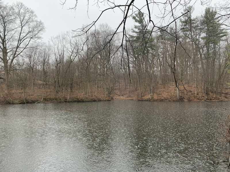
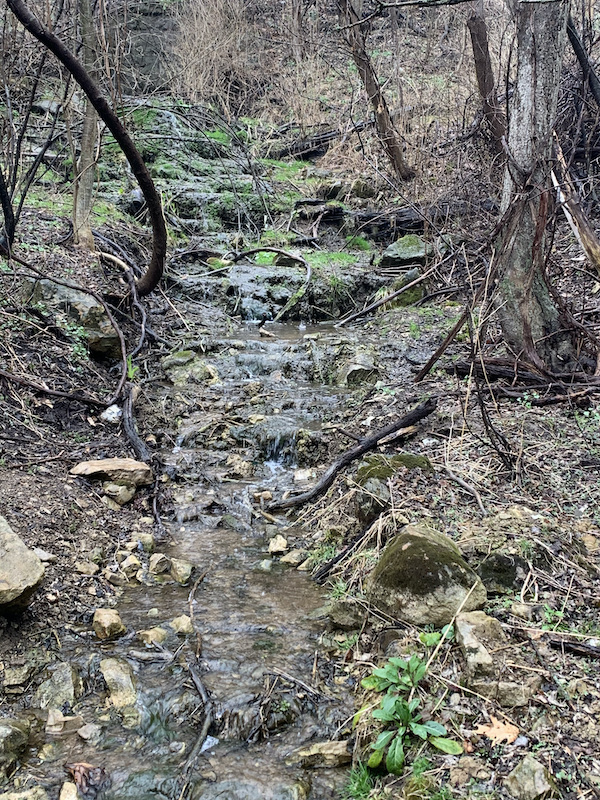
We headed northwards on what was a while groomed clay trail and passed several high flowing creeks filled with spring run off.

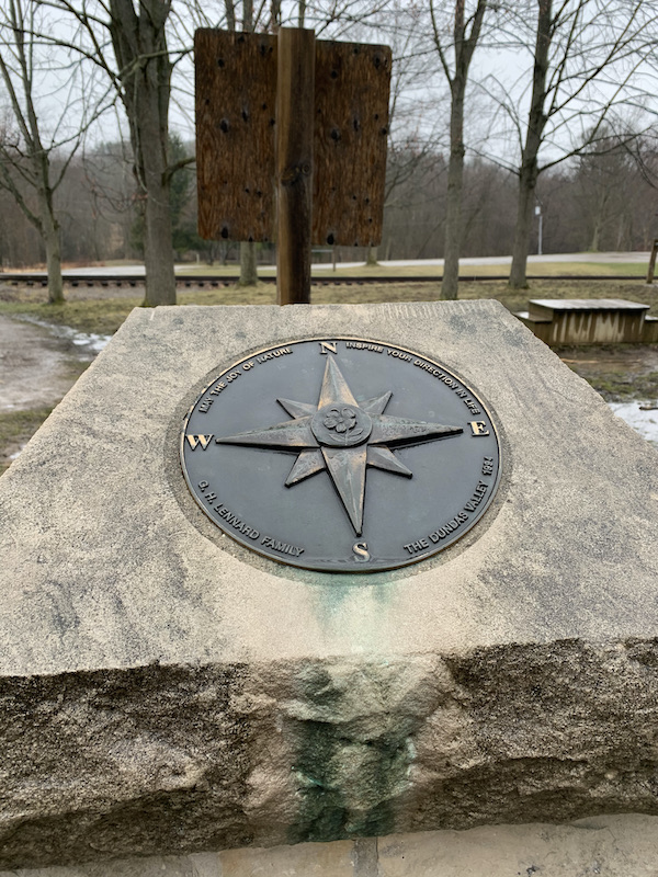
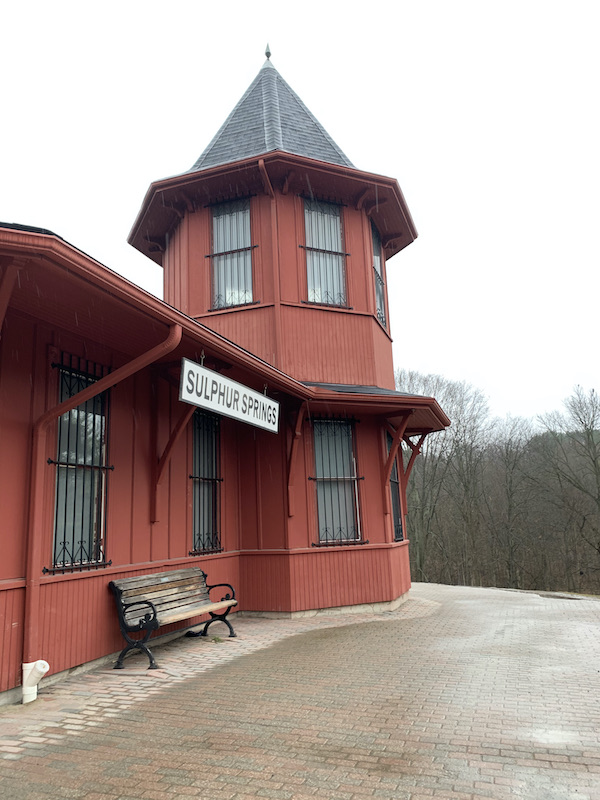
We eventually came upon the Dundas Valley Trail Centre. Which looks quite interesting, but it was too wet to linger too long.

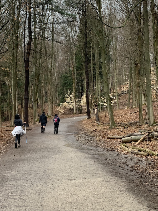
This is where the trail got trickier with regards to slippery mud. Otherwise the section of the trail is one of the easiest.

Once we passed the club we entered into town via King St. W. There is an access trail to Webster Falls here, but it was marked closed. We continued through some residential streets and decided as a whole to return back before we were too cold and tired.
One always sees things a little differently on the return trip. I love the pop of light that seems to radiate from the leaves of these trees. They are like platinum.
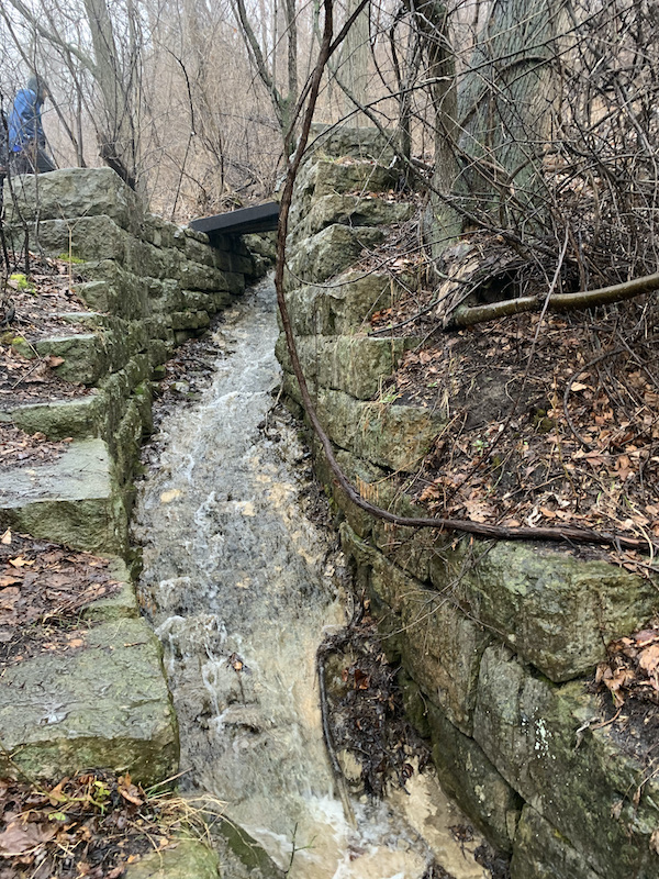
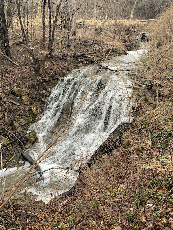
As a grand finale we checked out the cataract falls next to the Gatehouse.

4 thoughts on “Bruce Trail – Dundas Valley – Map 8 – Part 2”