
We met up at Rockway Community Centre and set out to take the Bruce Trail south towards Swayze Falls. We started from the Rockway Side Trail with the intention of going south where the side trail and main trail intersected, but went left instead of right. We soon realized this and turned back, but lost a few MRAC folk at this junction. After this we were well on our way. The majority of this section was dirt (with some slippery mud) and few minor ups and downs. Overall, the whole trail was fairly easy.
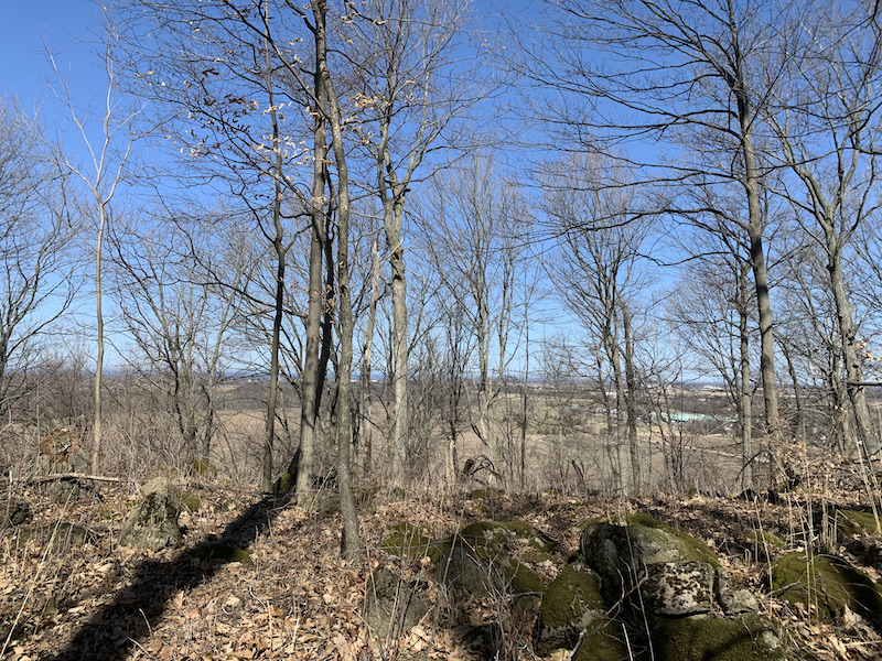
The trail was mostly tree covered and followed behind a network of farm land. A woodpecker was busy building a nest.
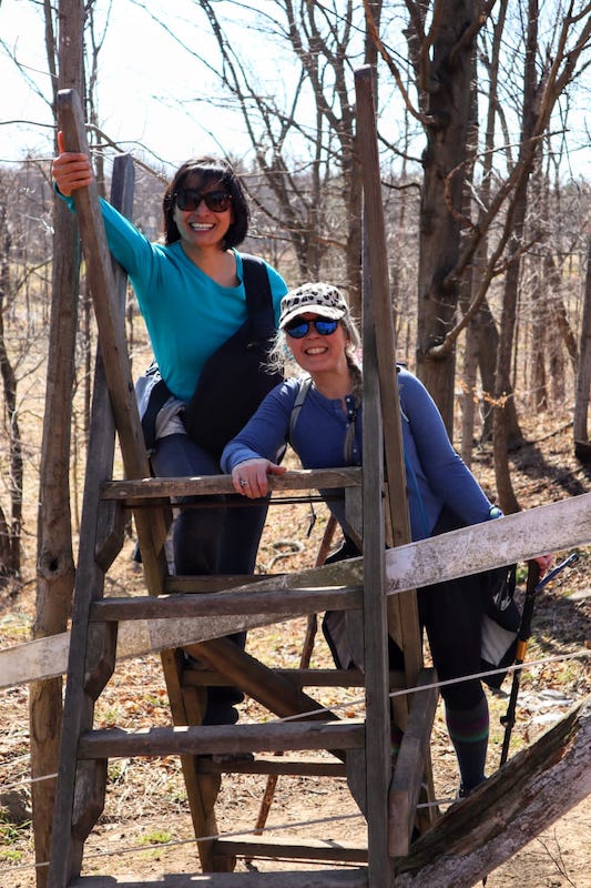

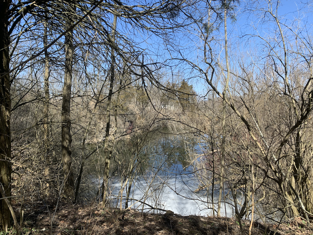
We climbed several stiles before reaching a open path that ran along the edge of a field to a path between a murky escarpment pond and a residential yard that lead to Effingham St.
We crossed to enter Short Hills Provincial Park. This is where it got muddier. Was very thankful for my walking stick.
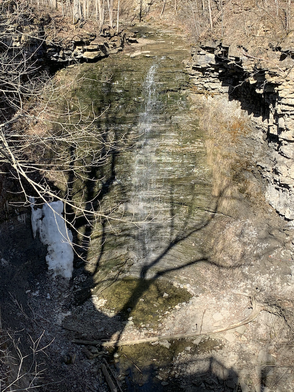
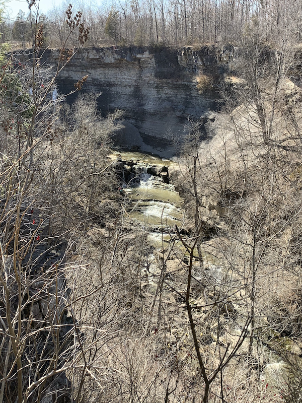
We soon reached Swayze Falls viewing platform. We continued on the path a little further before to where we could connect with a Short Hill trail that took us to the base of the falls.


After spending time here we took the trail until it looped back with the Bruce Trail near Effingham St.
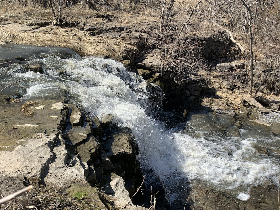
When we reached Pelham St. we took the road to Rockway Falls. Disclosure, though there is a path a no private property or trespassing sign someone told us it was private property.
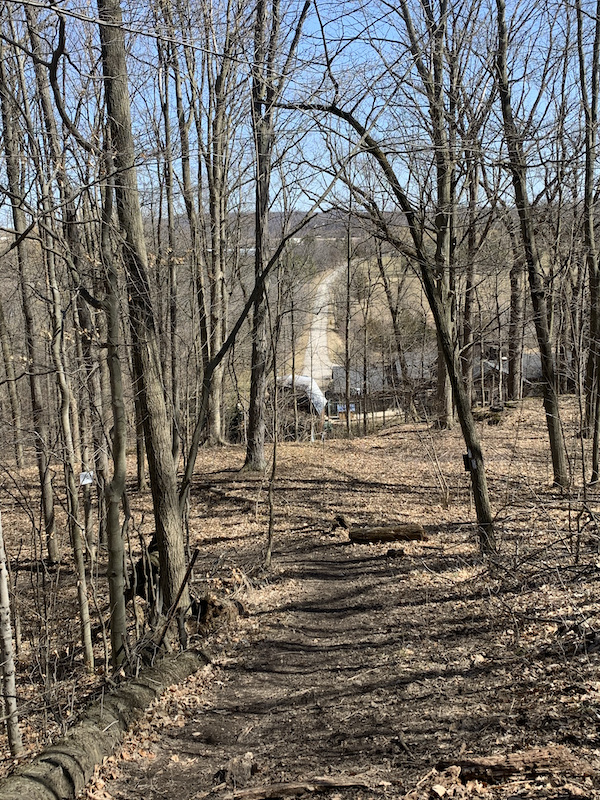
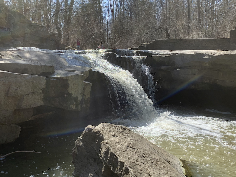
We cross the road back to the parking lot and took Rockway Side Trail to see the waterfall at its end.

5 thoughts on “Bruce Trail – Rockway to Swayze Falls – Map 3”