
Length 10.2 km (20,000)
On paper this looked a quick 2 hour hike in each direction. It turned into about a 4 hour hike in one direction. The terrain was a heavy mix of ups and downs, dirt, roots, river rock, escarpment, loose gravel, bridges, and stairs. The highlights were 3 waterfalls, escarpment vistas and beautiful forests full of wildlife.
We couldn’t find parking at the Great Falls lot so parked in town and walked. The falls is basically right at 72.4km.

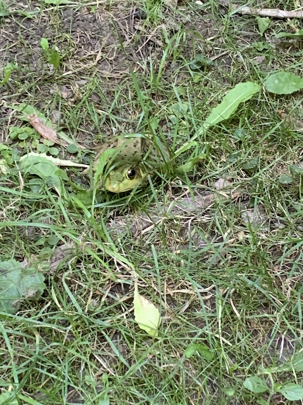
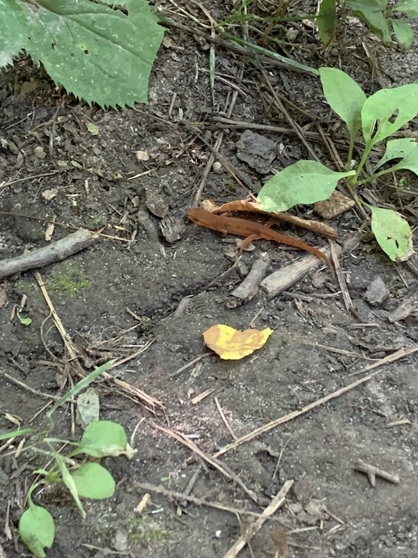
Within minutes we saw a hiding frog and red-spotted newt.
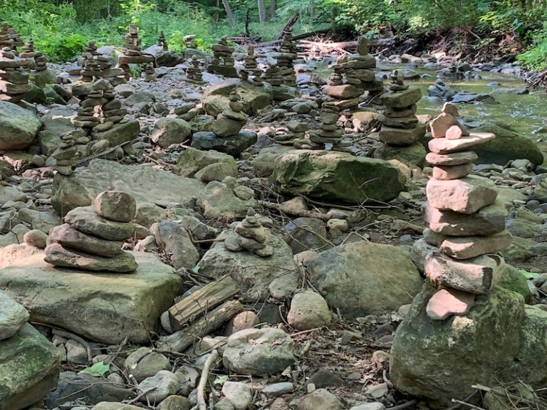
We then came across a rock river shoal filled with monuments.
The trail was well marked, which is great because there seemed to be many side trails that I’m sure the locals know well.
It was descent to cross at Snake Rd. There were many people parked along here. And there was an immediate incline on the other side. We came across a fashion photo shoot off of the main trail where it flattened. We saw a woodpecker in Clappison Woods. There is a cute little waterfall near the Upper Quarry Cascade. We had our Stand By Me moment wen we crossed the tracks.

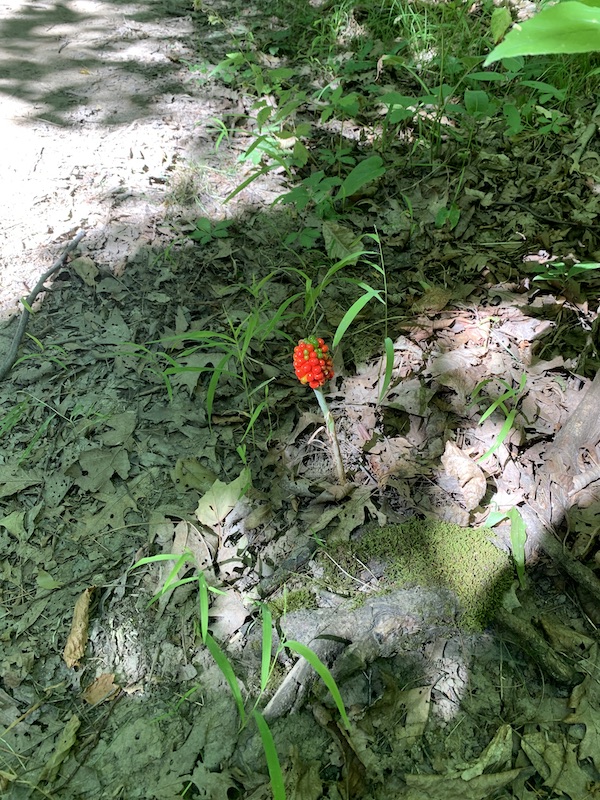
Saw this Jack-in-the-Pulpit.
Eventually we made it to the Hwy 6 tunnel.
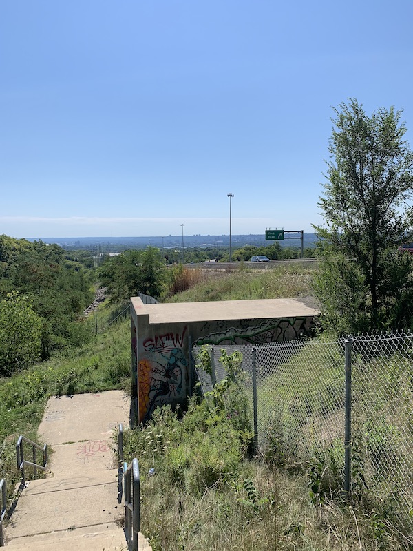
After another steep incline, we travelled along the level ground of the escarpment. There were some terrific views of Hamilton.
 After a bit we crossed a road that into a part of the trail that is through the Royal Botanical Gardens.

From here it a fairly easy hike to Borer’s Falls lookout.
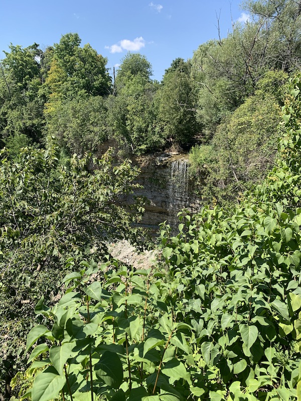
We went to the falls for a rest and snacks and then ended our hike at the Rock Chapel parking lot, 62.2 km.


4 thoughts on “Bruce Trail – Great Falls to Borer Falls – Map 9”