
I have seemingly been tackling the Bruce Trail in no apparent order. The is sort of true and for those of you who like to do things in more linear ways, I hear yah. The thing is life isn’t always linear and the way I’m accomplishing these hikes is a good representation of this. Regardless, I’m not tackling the trail at a slower pace, because my life doesn’t afford a continuous amount of time to do end to ends. Instead I set aside time and coordinate with others to see where they would like to go and then there is weather and conditions. As you can see is doesn’t, rain, mud, sun, snow and ice … as long as you are prepared it hasn’t stopped me or my companions from going, but it has prevented us from reaching certain end points. Safety comes first. You need to recognize when to stop or turn back. Lastly, the pandemic has played another factor in all of this. I’m choosing trails close to home – all BT hikes from 2020/2021 so far have been with an hour, with a few exceptions of 1.5 hours and I always have my mask and social distance as much as possible. There are far few people on the BT than the trails down the street from me.
On this note, I am happy to share that I have managed to close a gap connect two segments- Rockway Falls to Swayze Falls and Woodend to Brock. This also means I have officially hiked the first 44.8 km of the BT. A huge thank you to my trail angel JS and MRAC.
Also, thanks to some encouragement and inspiration, I have started my own YouTube channel. The first video is on this hike.
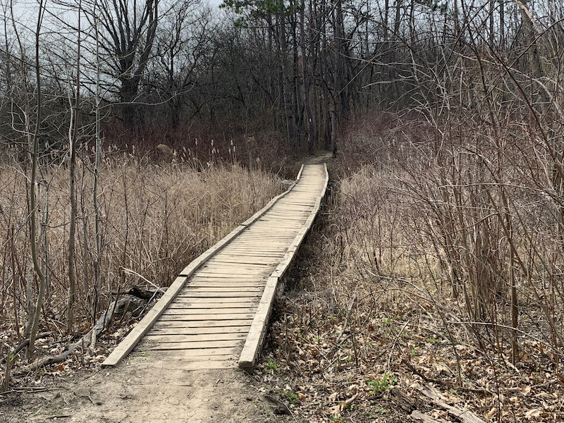
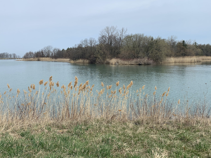
We parked at Brock and set off to catch the trail where we left off. The trail followed the perimeter of the Lake Moodie. We crossed the lake at Decew Rd bridge and then headed back along the lake. Up until the Decew House Heritage Park, there were barely any other hikers. We had our masks handy to don when others approached.
The BT veered left at the end of the lake and then took us back up to follow along DeCew Rd again. We heard the DeCew Falls but decided not explore. We would save these falls and Morning Star Mill for another day trip. (Good decision. When we passed the mill on the way back to the car left at Brock, the parking lot was over capacity and there were many people about.)
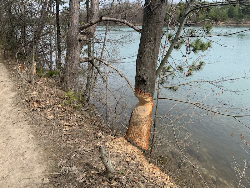
We began to notice quite a few snakes rustling through dry forest leaves. This was true throughout the entire hike.
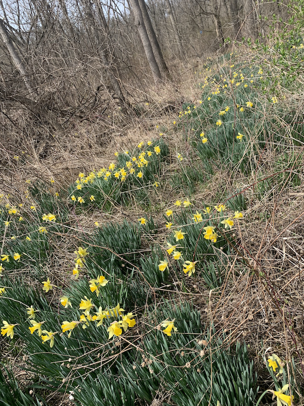
Somewhere along a river we came across a field of wild daffodils. Fields of wild daffodils fills me nostalgic joy and are eternal signs of spring for me. It was around here that we came upon the 3rd abandoned car I’ve seen on the BT.
Not long after this we were on the trail section called the Rim of Africa Bruce Trail Friendship Trail. I believe this is where we climbed the ridge trail. There were quite a few out this day. Some where along this section we came to a shallow creek – a rather noisy shallow creek. There were frogs everywhere. They were singing and mating and entertaining a the few hikers that were found it interesting.

This was also where we saw our first horse rider on the trail. They actually have places to tie up your horse if you want to stop.

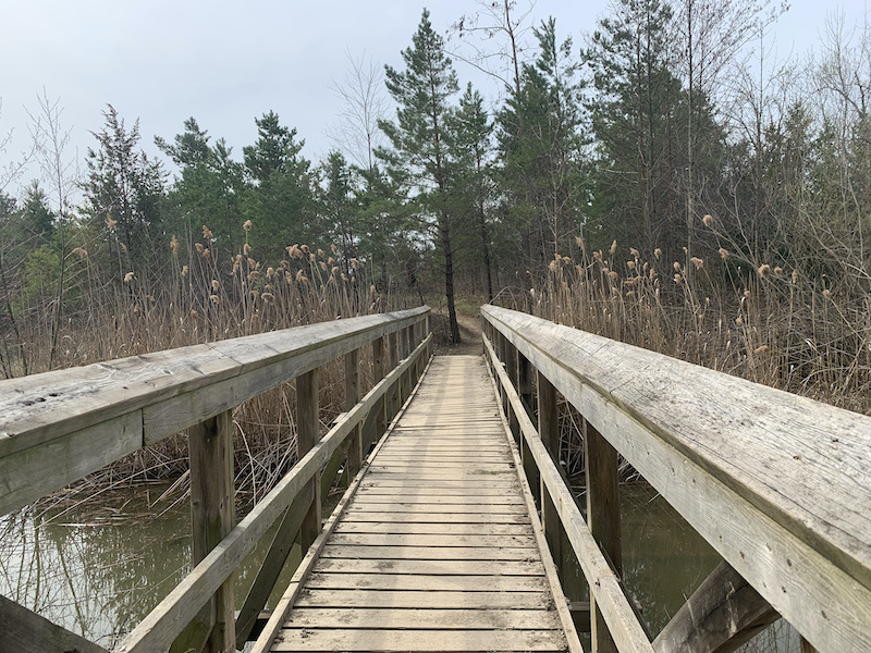
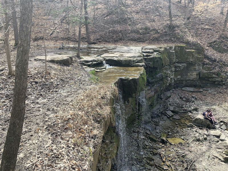
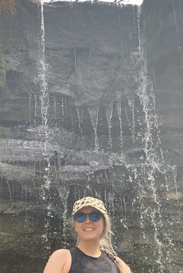
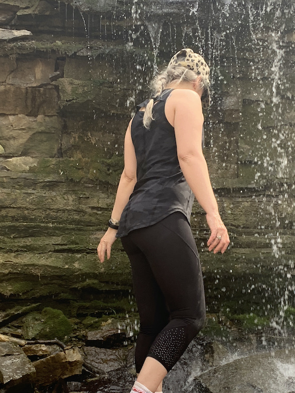
Terrace Creek Falls was a little way after this. Honestly, I could have spent the day there. The air was cool and the water gentle.
Once we left friendship trail, there was a bit of climb. This led to a pond with a few spotted salamanders mating. Spring is in the air!
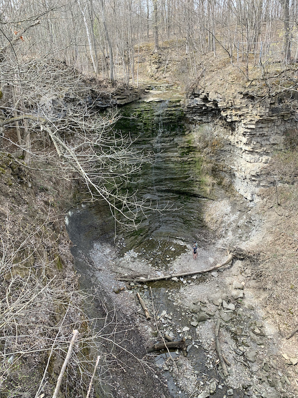
Short Hills Provincial Park was a joy to walk through as was the whole day. We made it the Swayze Falls platform, took a little pause and then headed to the car via a side trail.

This by far was my favourite hike, scenery wise, when compared to the first two of the Niagara sections.
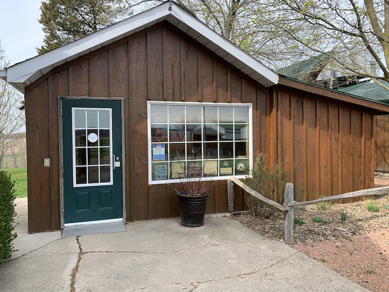
By the way there is an amazing maple syrup farm just around the corner called White Meadows Farm. We stopped in for some essential maple electrolytes.
Total 13 kilometers.

One thought on “Bruce Trail – Map 3 – Brock University to Swayze Falls”