
We started where we ended off Woodend, kilometre 15.2 on March and planned to go to kilometre 25.3, just outside of Brock University. The trail was surprisingly easy and we ended to an additional segment that wrapped around Brock to around kilometre 28.

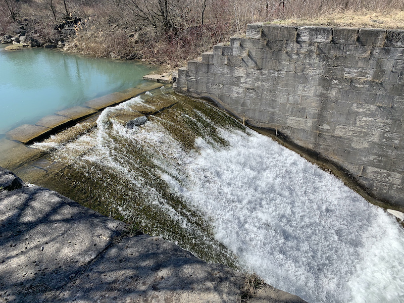
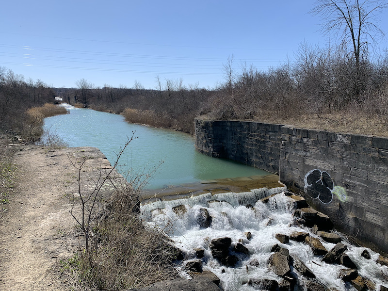
The beginning of this leg passes along and through a golf course on one side and a canal on the other. It was a cold winter morning, puddles were still surrounded with ice rings, but there were golfers out getting their swings in before the courses were potentially closed for the province wide grey-zone.


The trail gets a little tricky here. If you see the blue marker for Bert Lowe Side Trail you have missed the sharp turn at the top of the concrete map. There was a hiker in front of us whom assumed we did this and turned us around before we made it too far. This being said the Bert Lowe Side Trail does make a loop that would have connected us with our destination in a longer round about way.

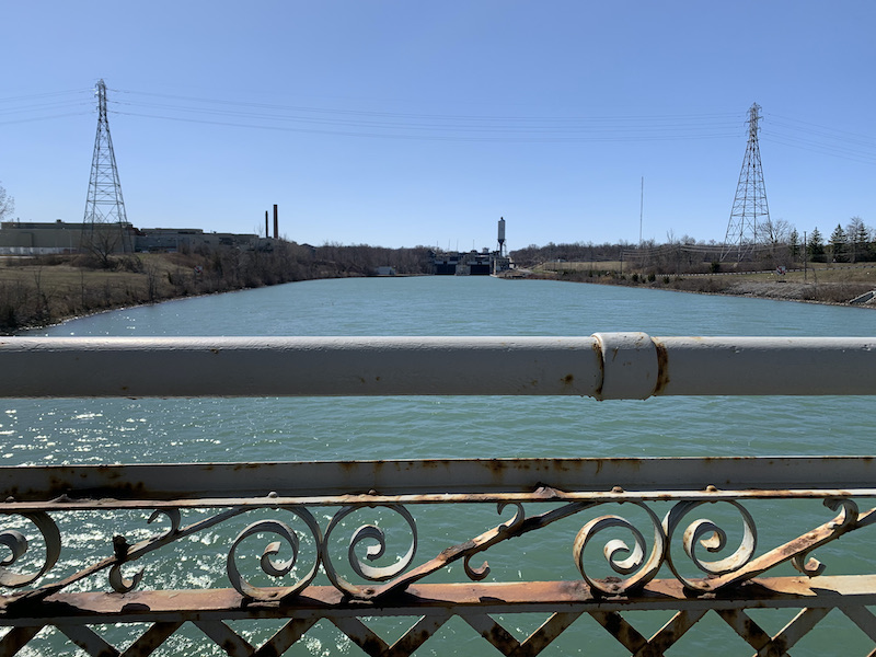
The only other trail miss that we had on this hike was at kilometre 20.4. There is an invite bridge with the view seen above. We crossed it and started down the other side. There are yellow blazes instead of white, which I saw across the river. They both lead to the same place, but we wanted to take the white blazes all the way so back we went.
The trail was still extremely easy and only got a little challenging around Tremont Dr. The walk is on the paved road, but it is steep as it climbs the escarpment. Walking the Glenridge Quarry forest section was dirt, with ups and downs and arounds, making it the hardest part of our day. I would call this a typical Bruce Trail introductory sampler. If you don’t like this, then you wouldn’t like majority of the trail.
At this point we reached our first goal, but since we had energy we decided to push on and do the section that partially circumnavigates Brock University. We ended where the trail meets a straight section that leads to St. David’s Rd. and cross the campus to the cars.


3 thoughts on “Bruce Trail-Woodend to Brock-Maps 2&3”