
The Queen Elizabeth II Wildlands Provincial Park is one of the largest and least developed park South of Algonquin. Through this park runs part of the 500 km Ganaraska Trail.
There are plenty of challenges with this trail. The first is getting there. We wanted the Victoria Falls entry point near Washago. I was in charge of navigations. I had various paper maps, notes and GPS. However, from the my research I knew GPS would cut out as we got closer and couldn’t be relied upon. At one point the rock shield is part of the dirt road. At this point the driver thought we were going the wrong way and turned around, but eventually realized it was the correct way after all.


At one point you will reach the Ron Reid Nature Reserve. Keep going.
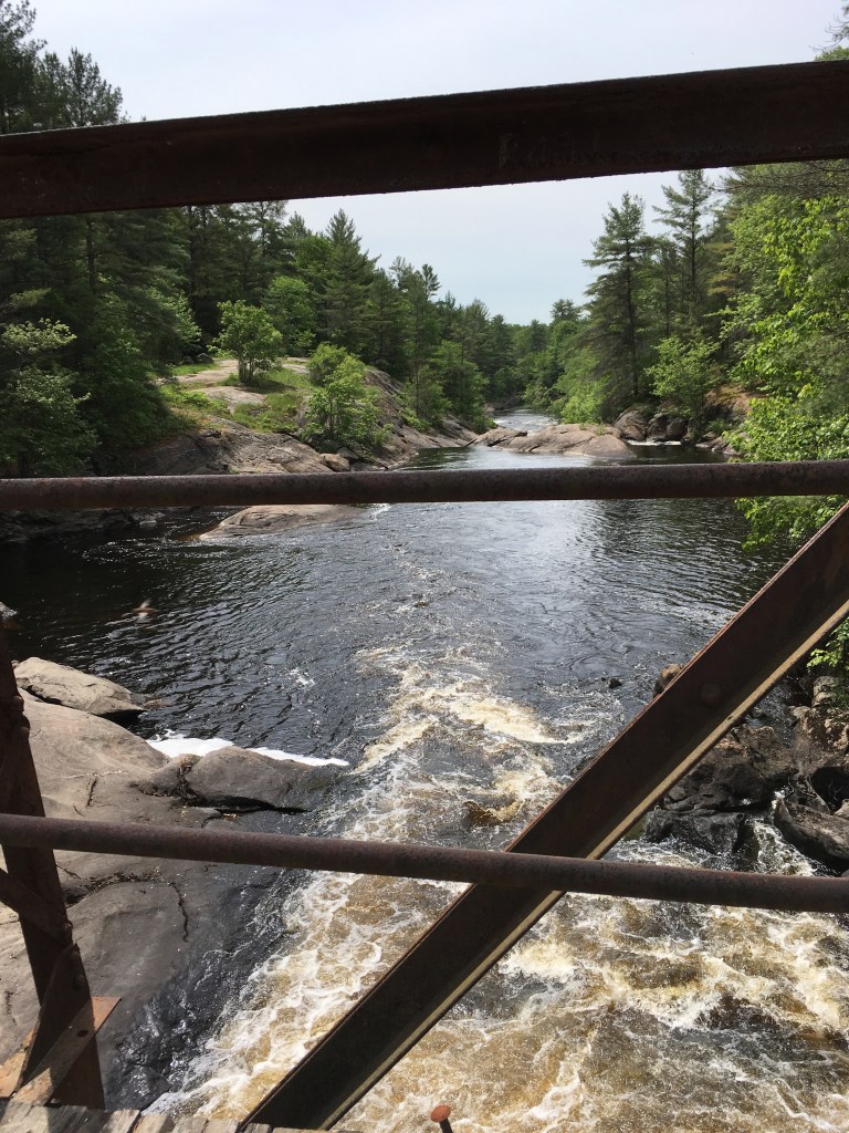
When you reach the Victoria Falls bridge, park on the other side. Now you can start your hike.


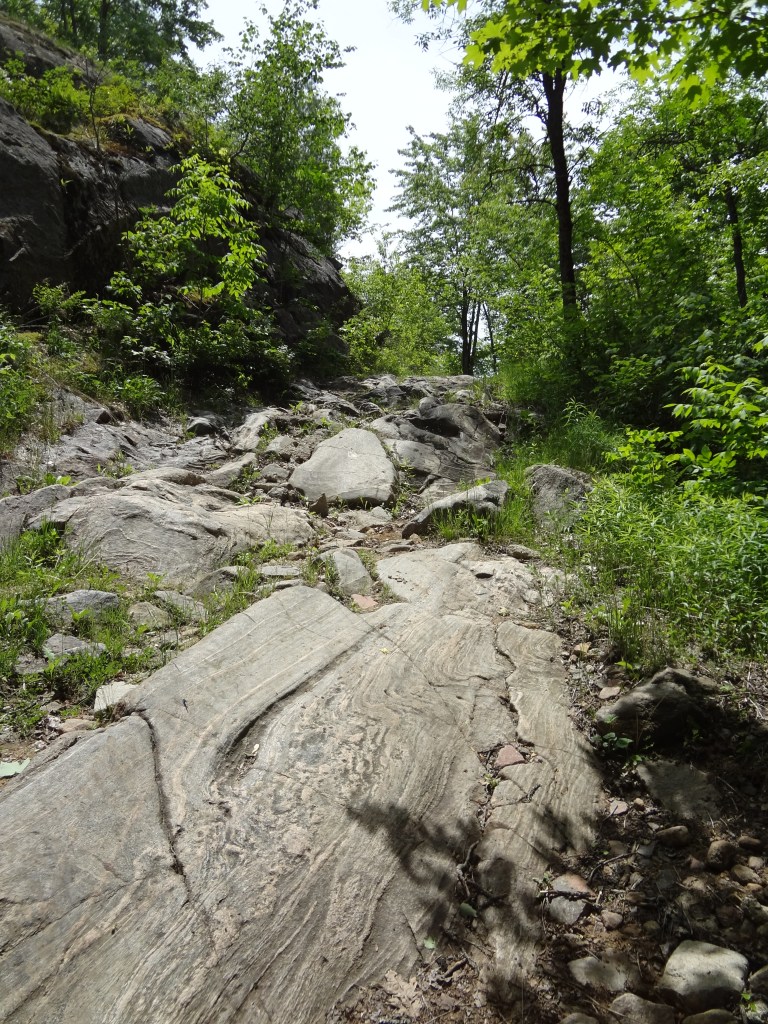
This part trail is extremely rugged and harsh. The landscape we traveled was very rocky, sometimes muddy, and marked with beaver dams. There is also a river to cross either by going through or crossing random gated bridge. For the most part the trail was well marked. The main challenge was spotting the blazes painted on the ground rocks.

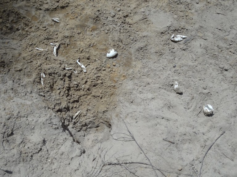
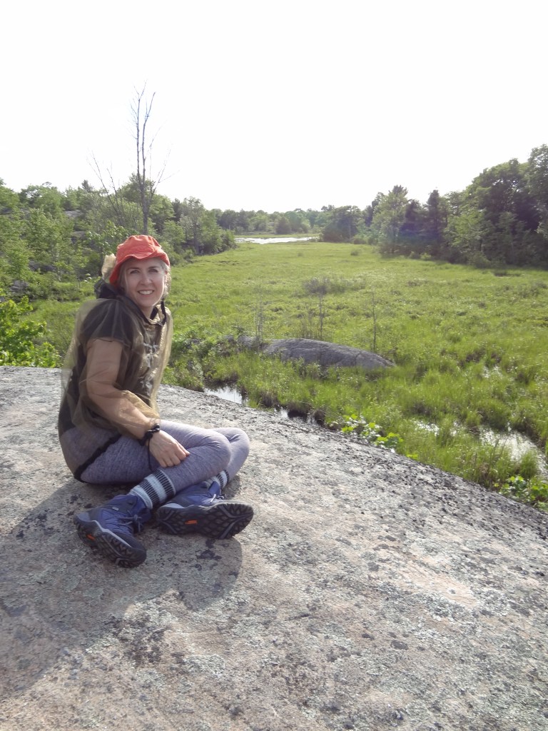
We saw deer, snake eggs, butterflies, frogs and beavers.


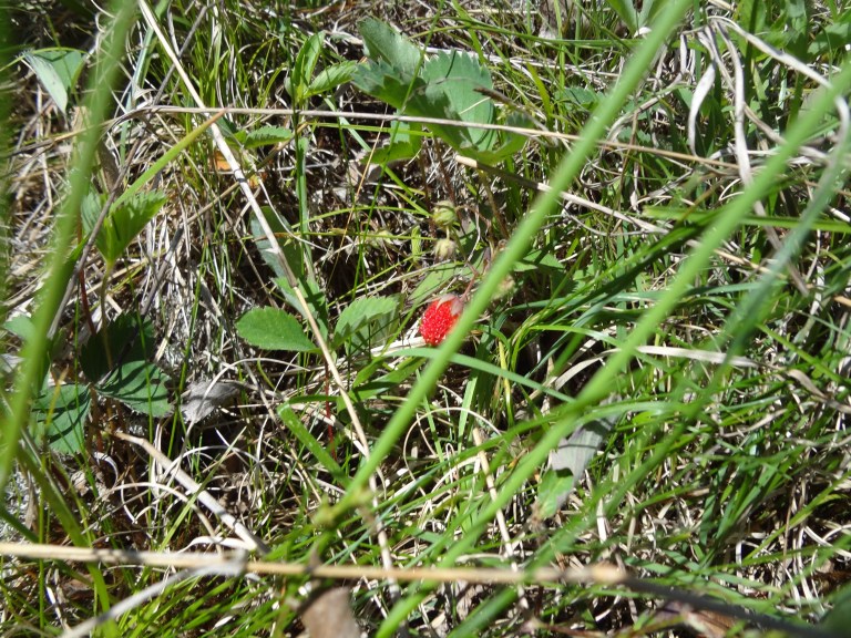
There some beautiful flowers and wild strawberries. I read somewhere that when you find wild berries you shouldn’t take more than 1/4. The rest should be left for nature.


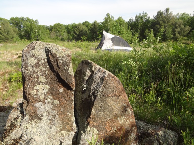
Though there is plenty of filterable drinking water available along the trail, my hiking partner and I ran into a long waterless segment on an extremely hot day. I definitely wish that I had brought two full water bottles and ended up with a bit of heat stroke. When we found water, I pitched my tent, while my hiking partner went on to explore. I believe we were on a loop called Tombstone Trail – perhaps because of the protruding upright rocks that were common along this trail.
Just beyond the campsite, was a series of beaver dams. That I explored once I was cooled and hydrated.

Crossing the dam to the other side of the trail was sort of scary and exciting. That’s my tent on the other side.


Did I mention it was buggy?
The next day was much easier. I opted to retrace our path rather than go over beaver dams. This time though we crossed through the river.


One thought on “Queen Elizabeth II Wildlands Provincial Park – Ganaraska Trail”